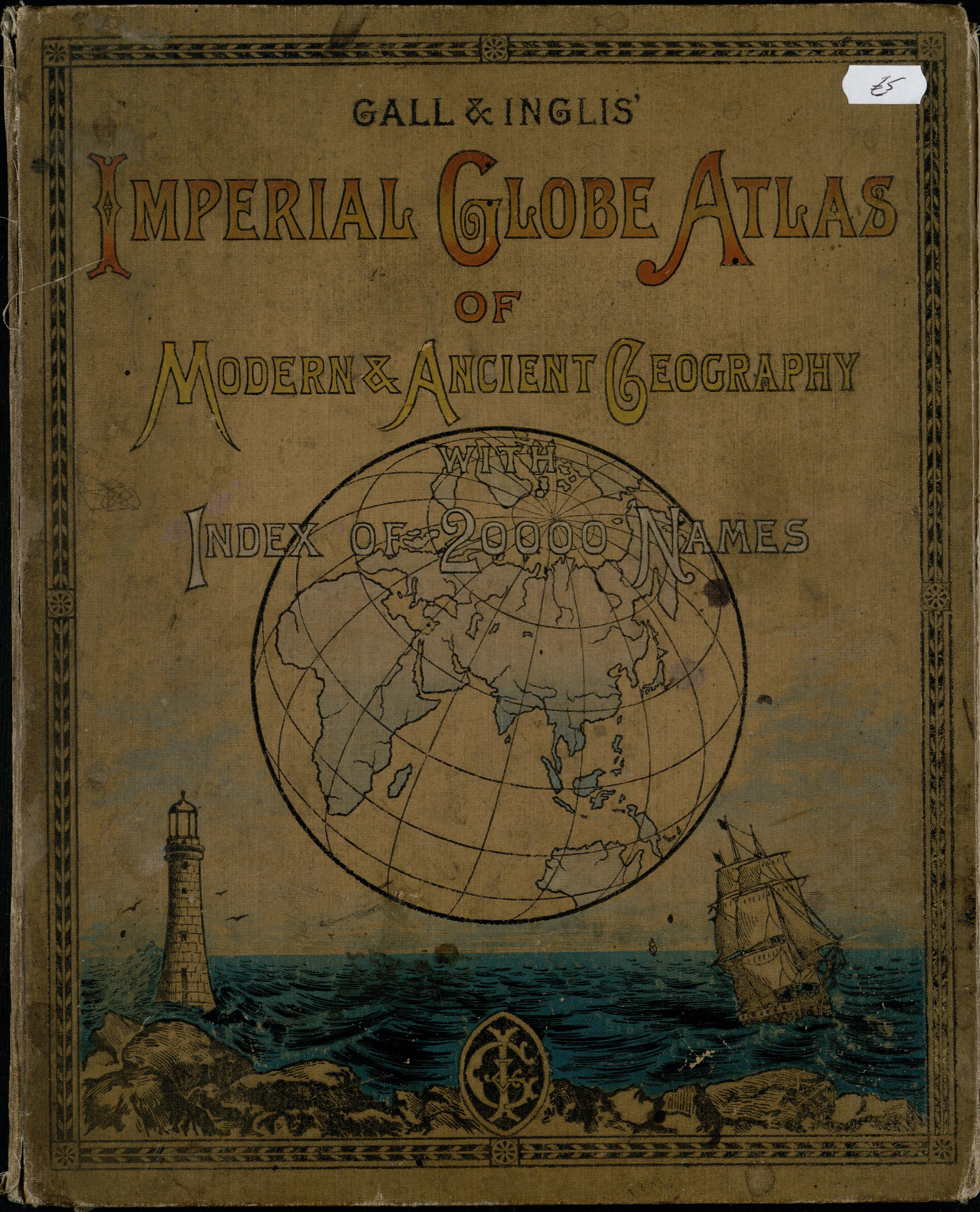
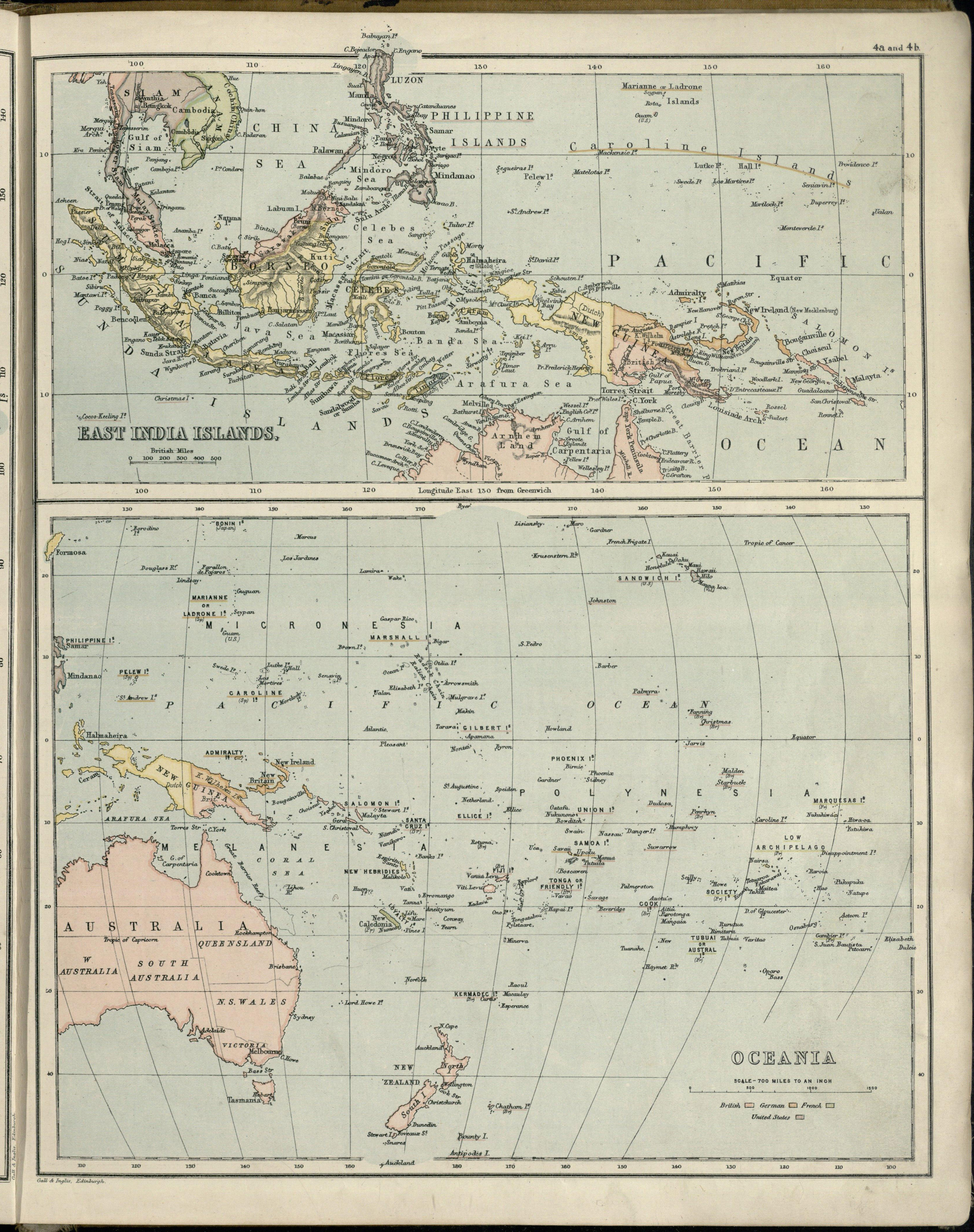
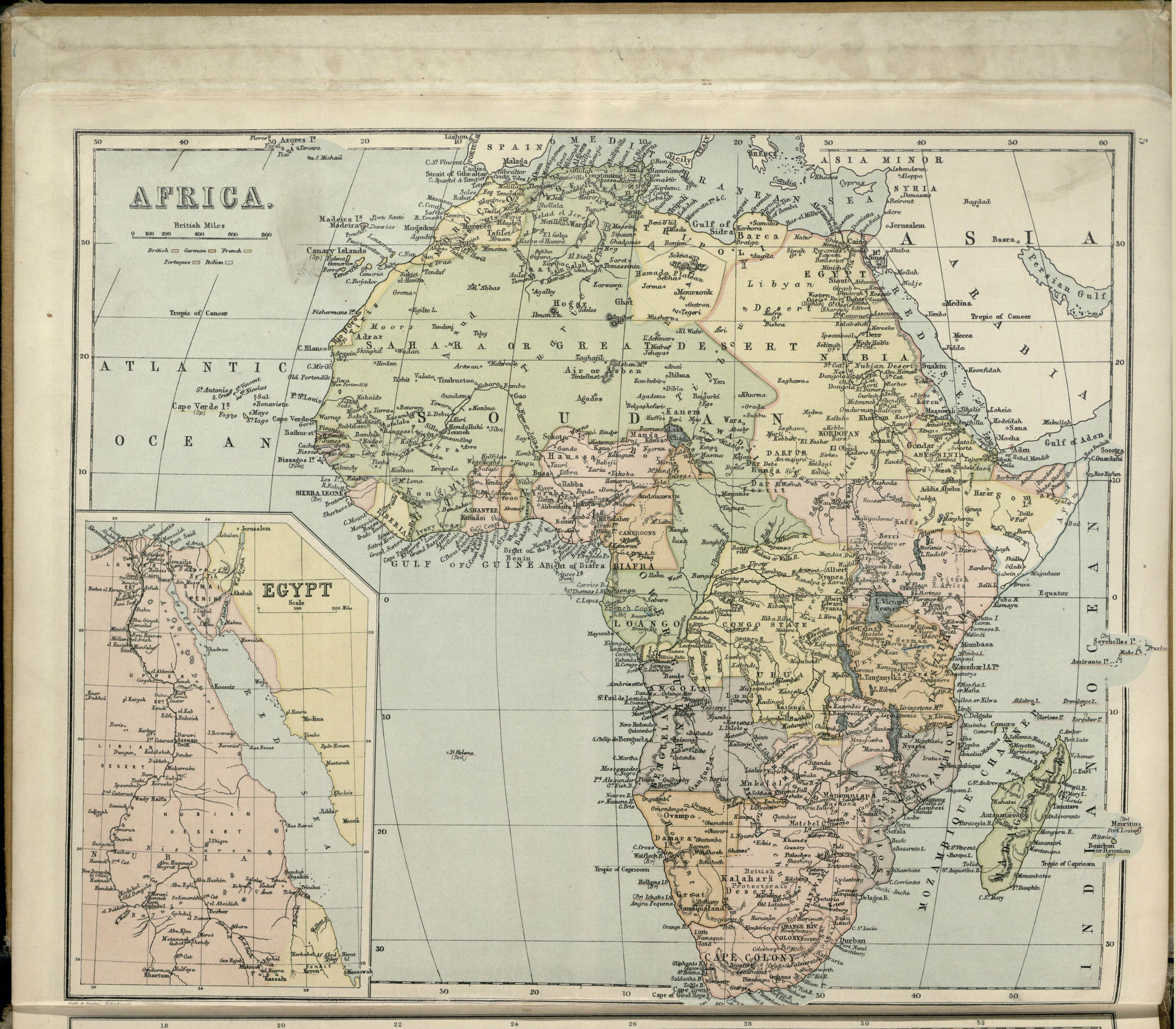
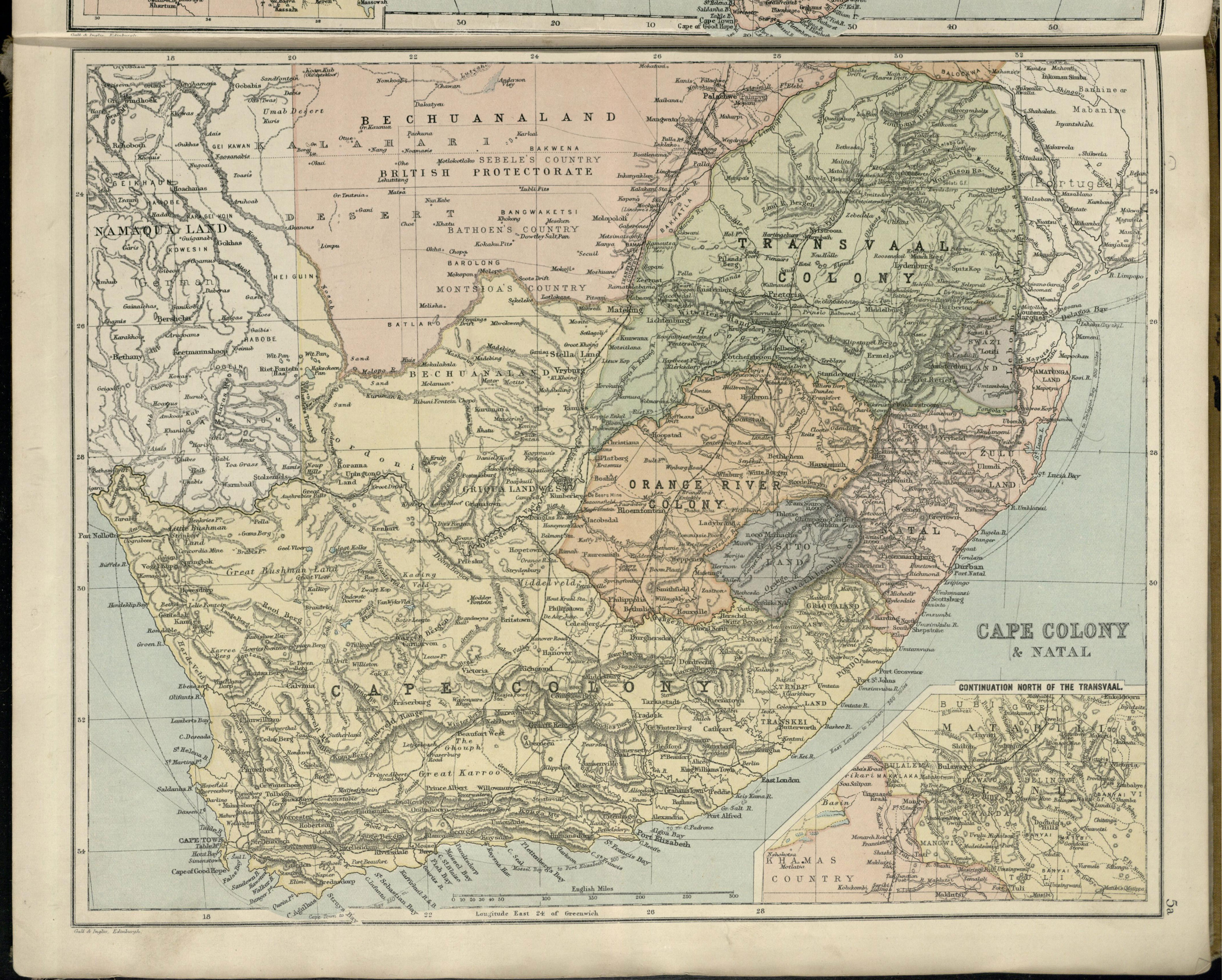
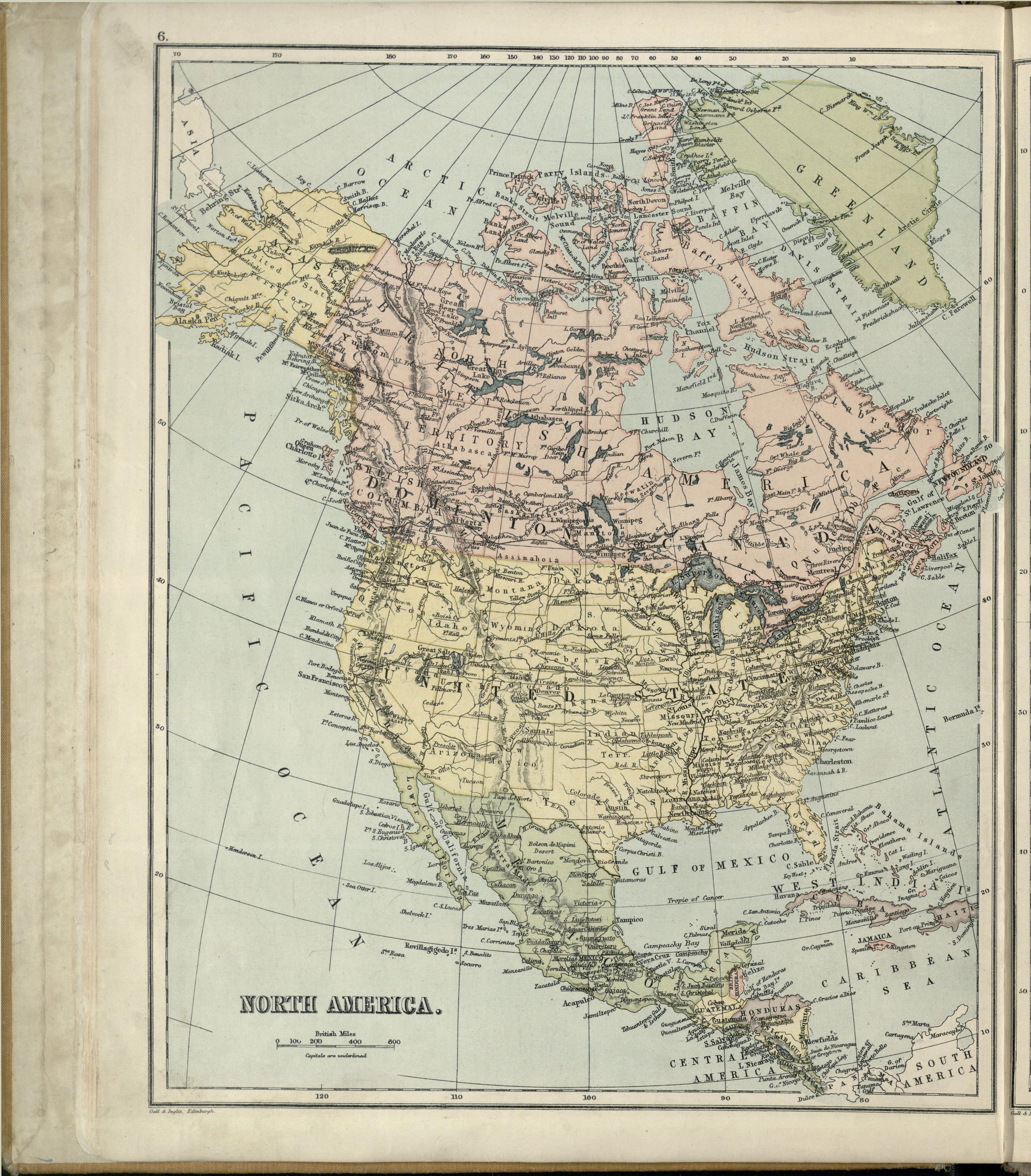
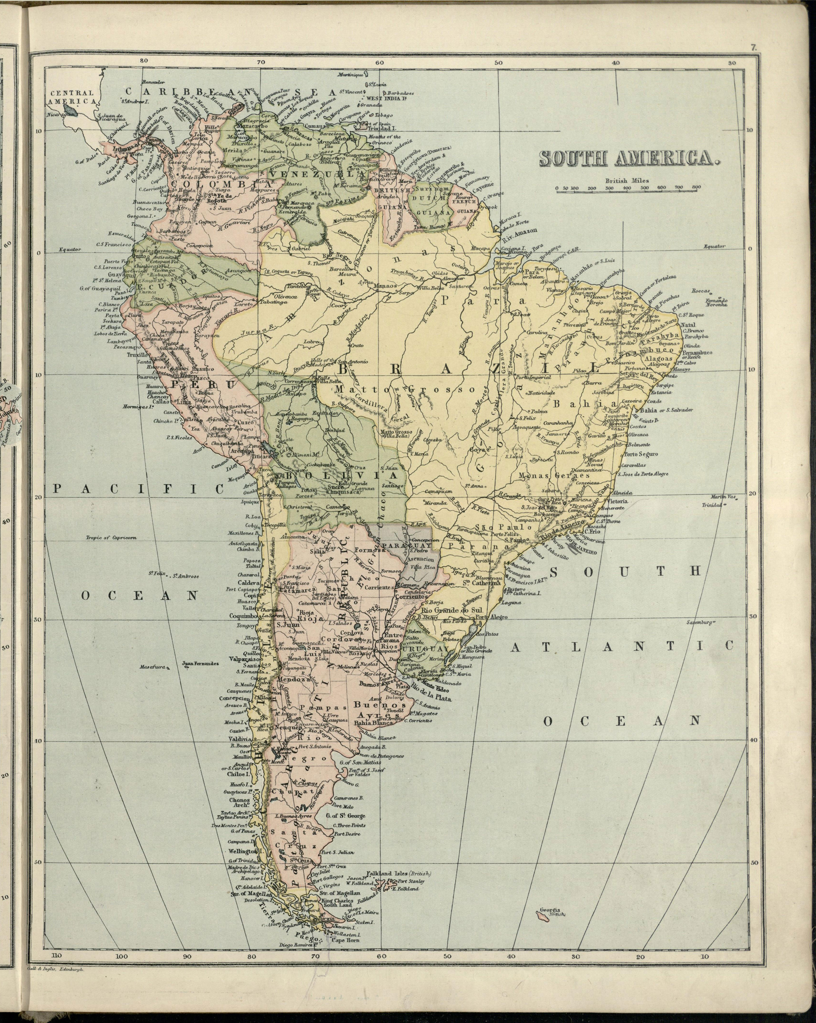
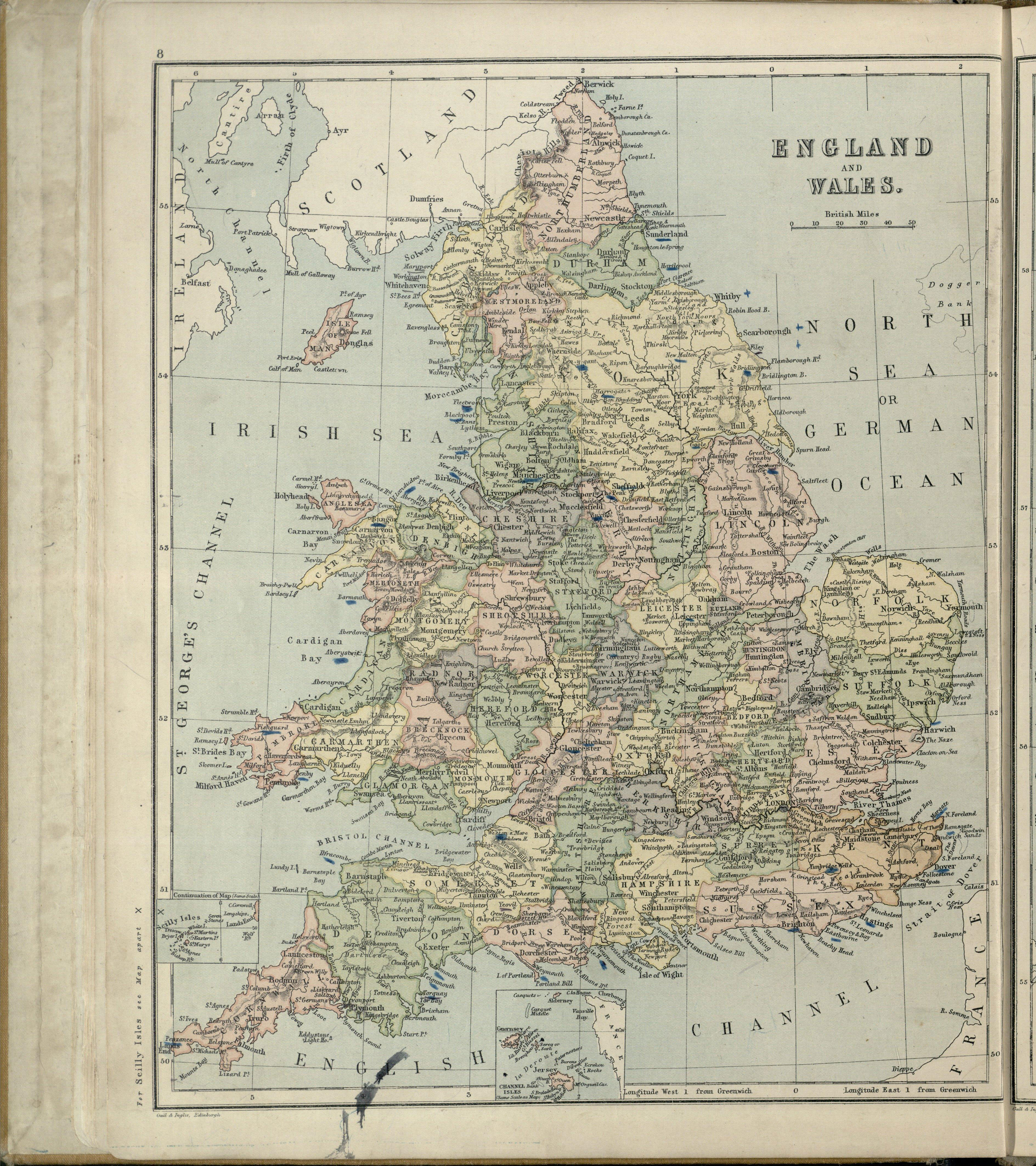
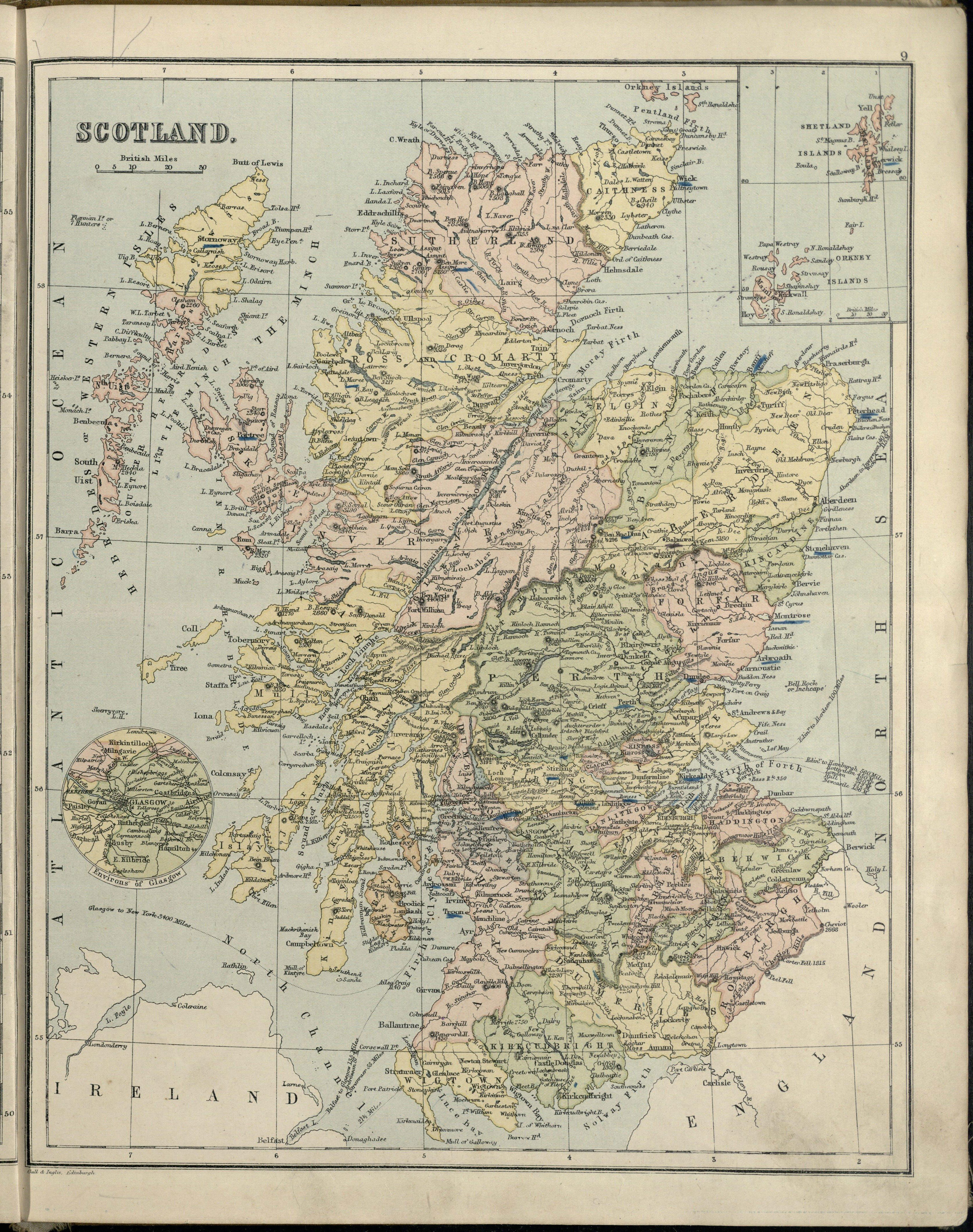
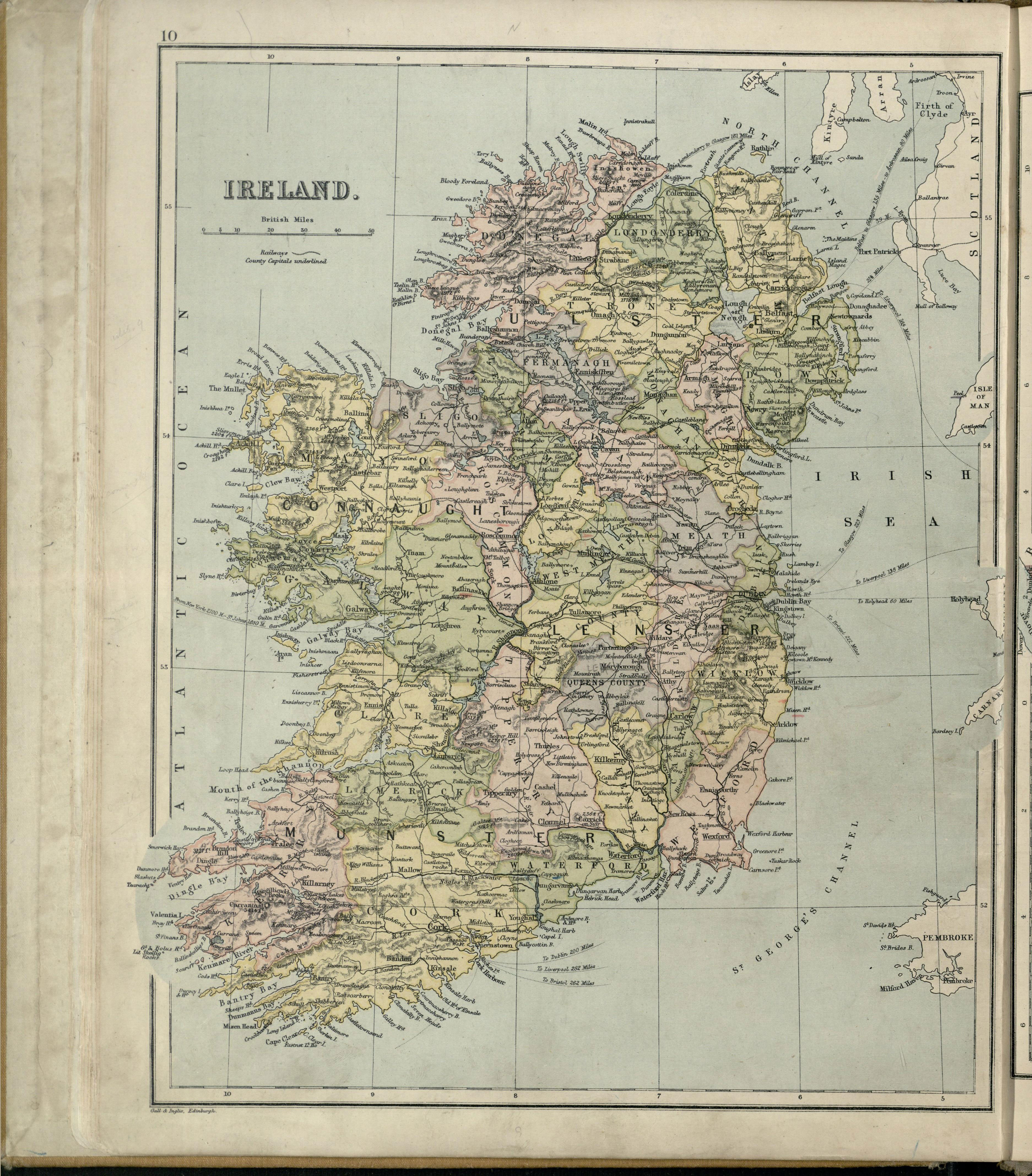
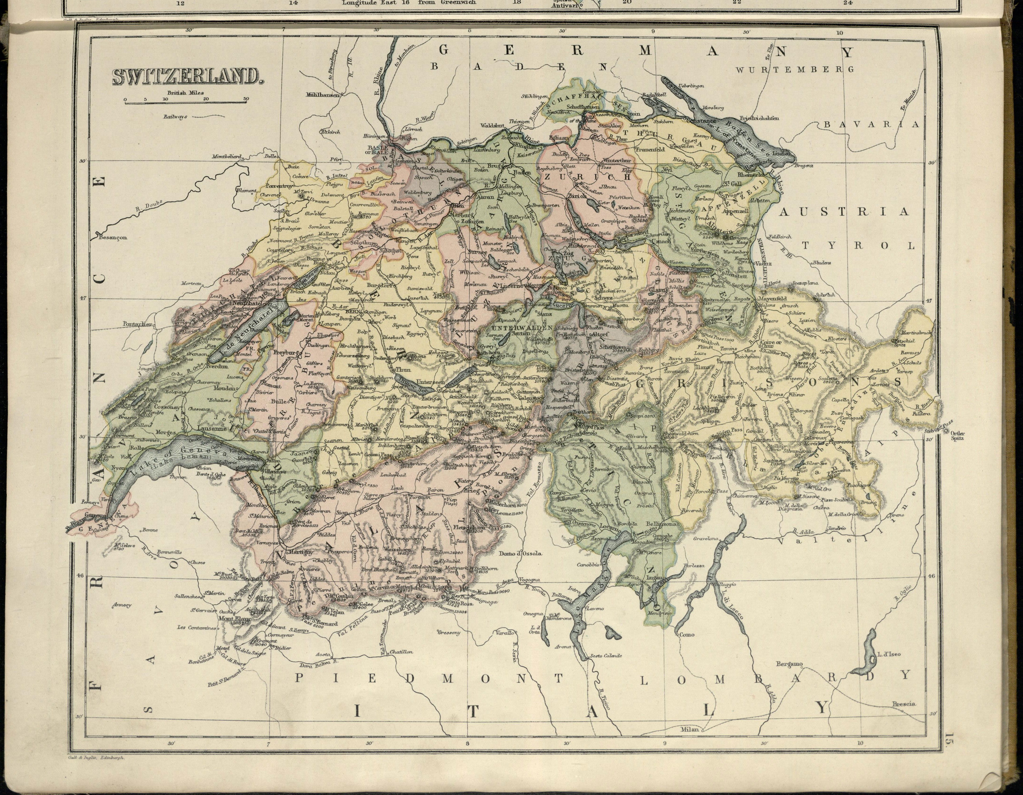
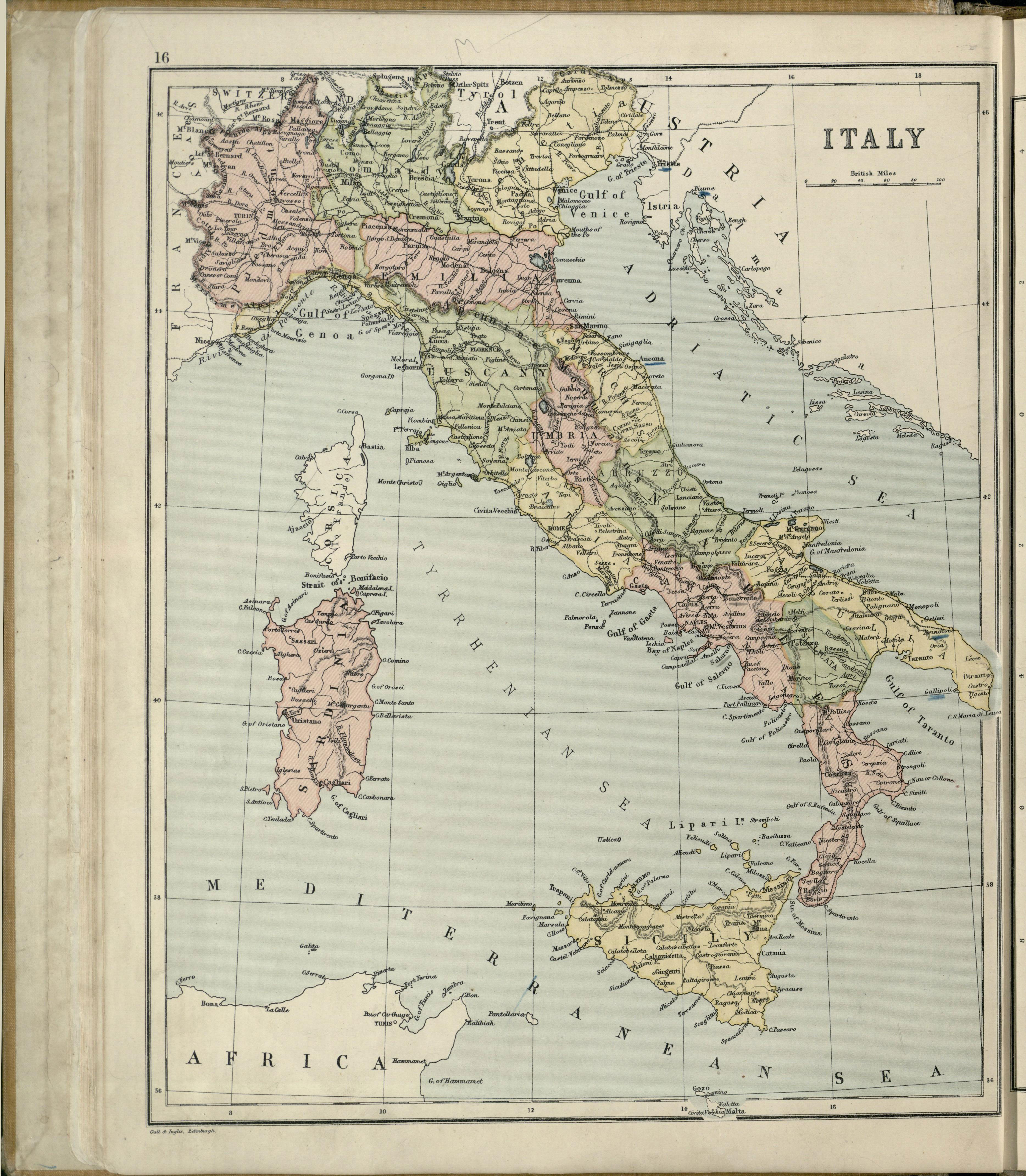
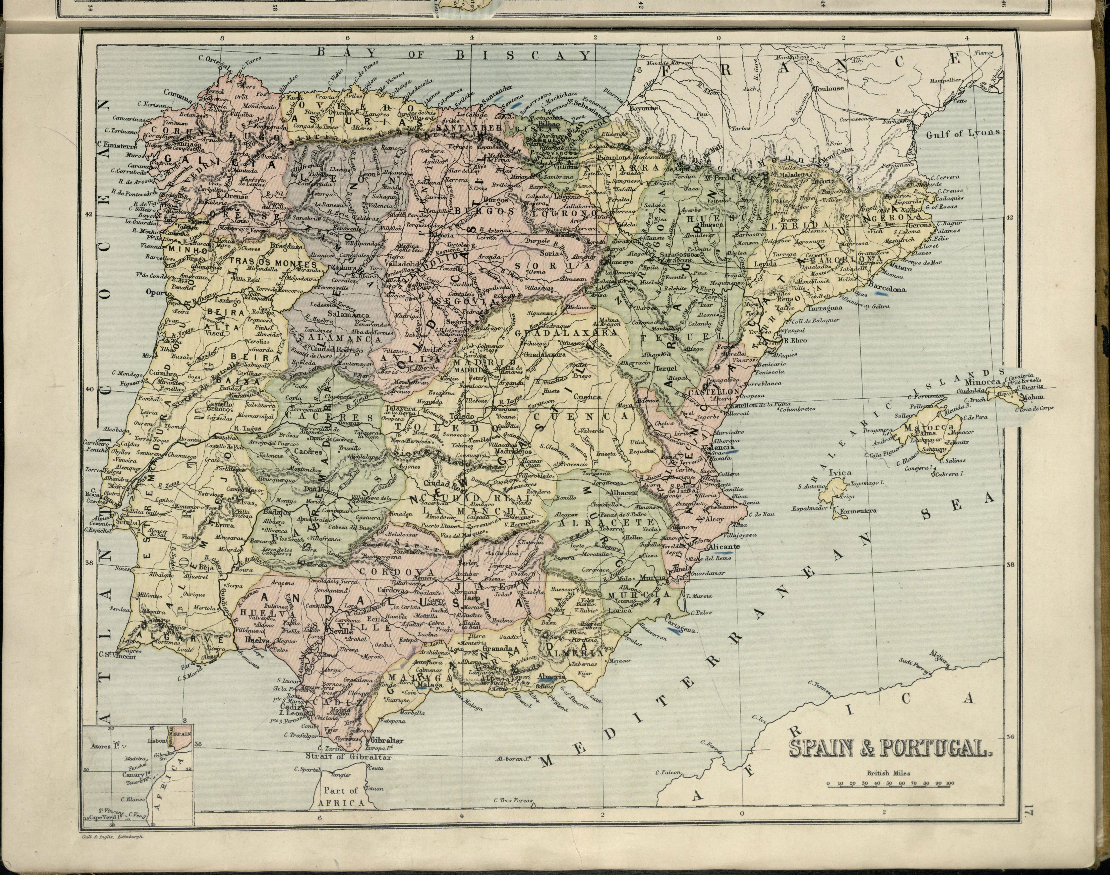
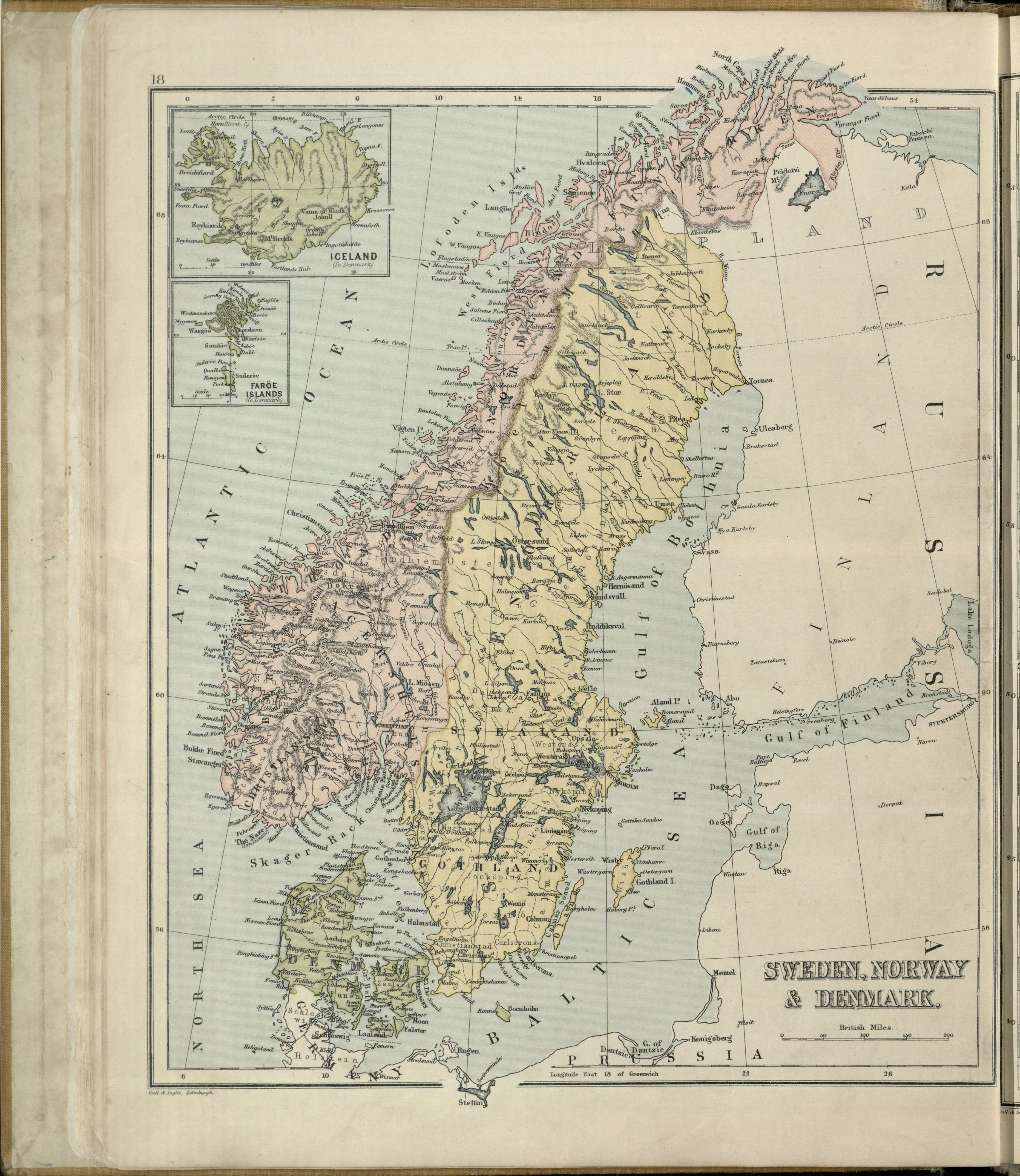
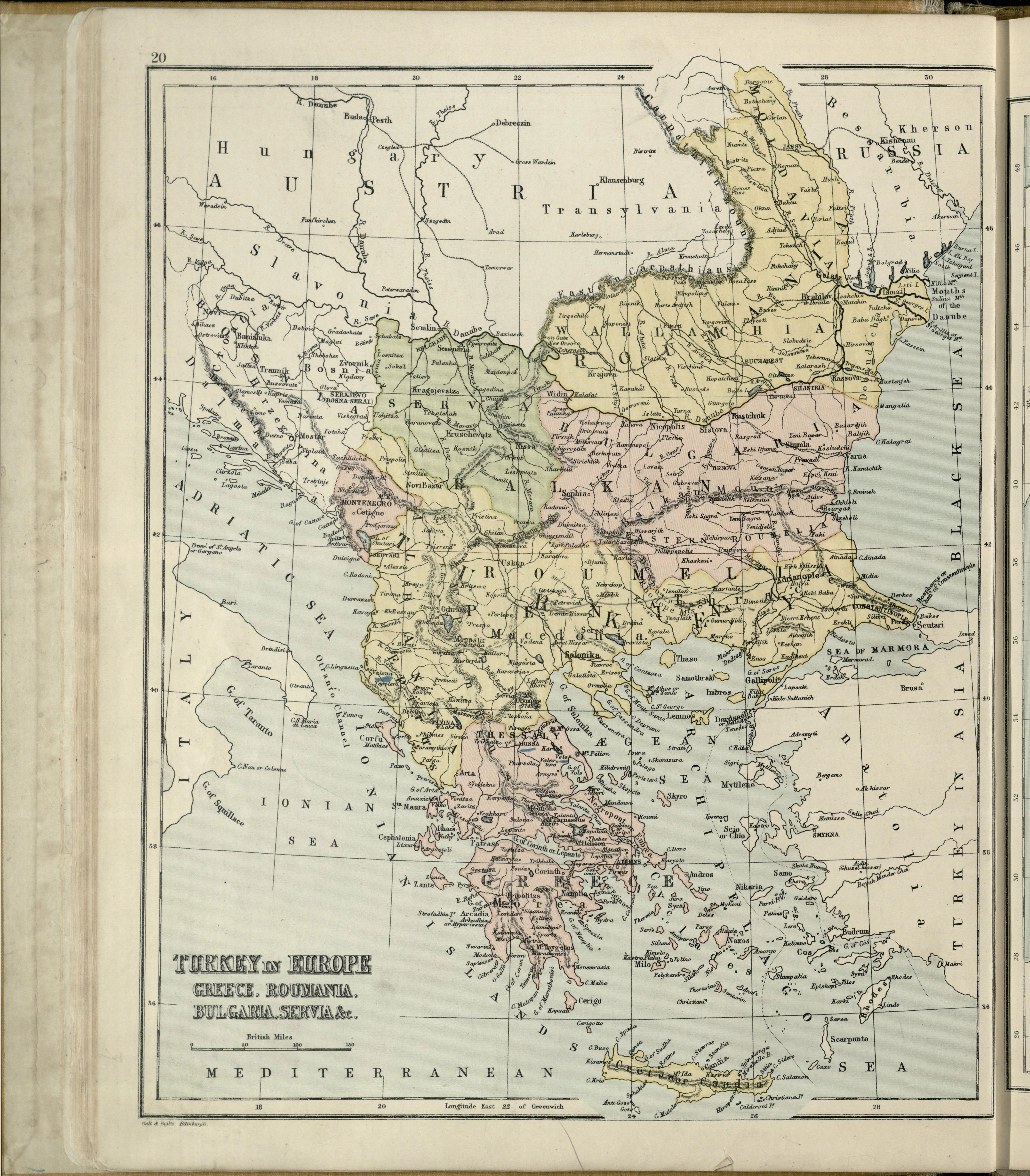
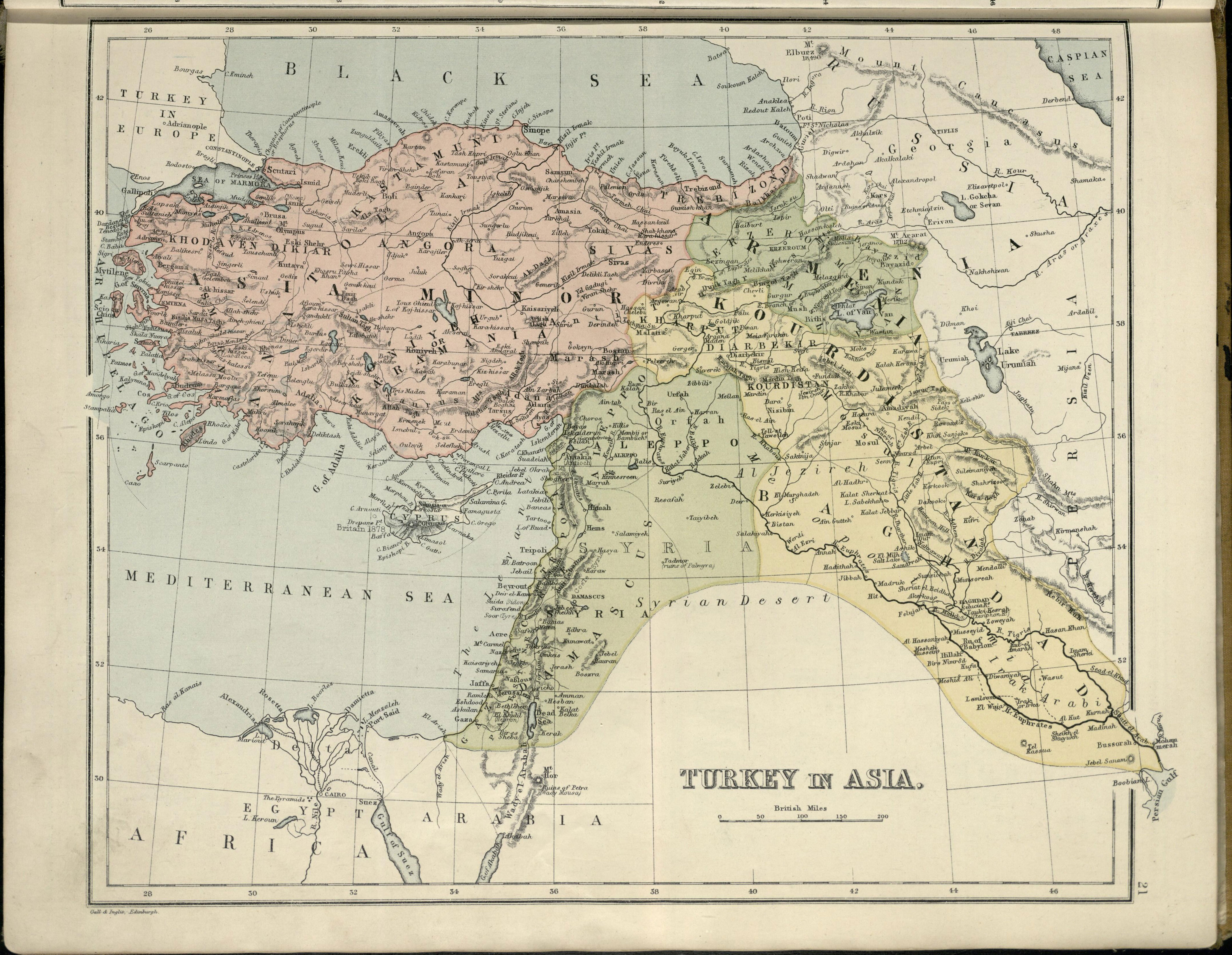
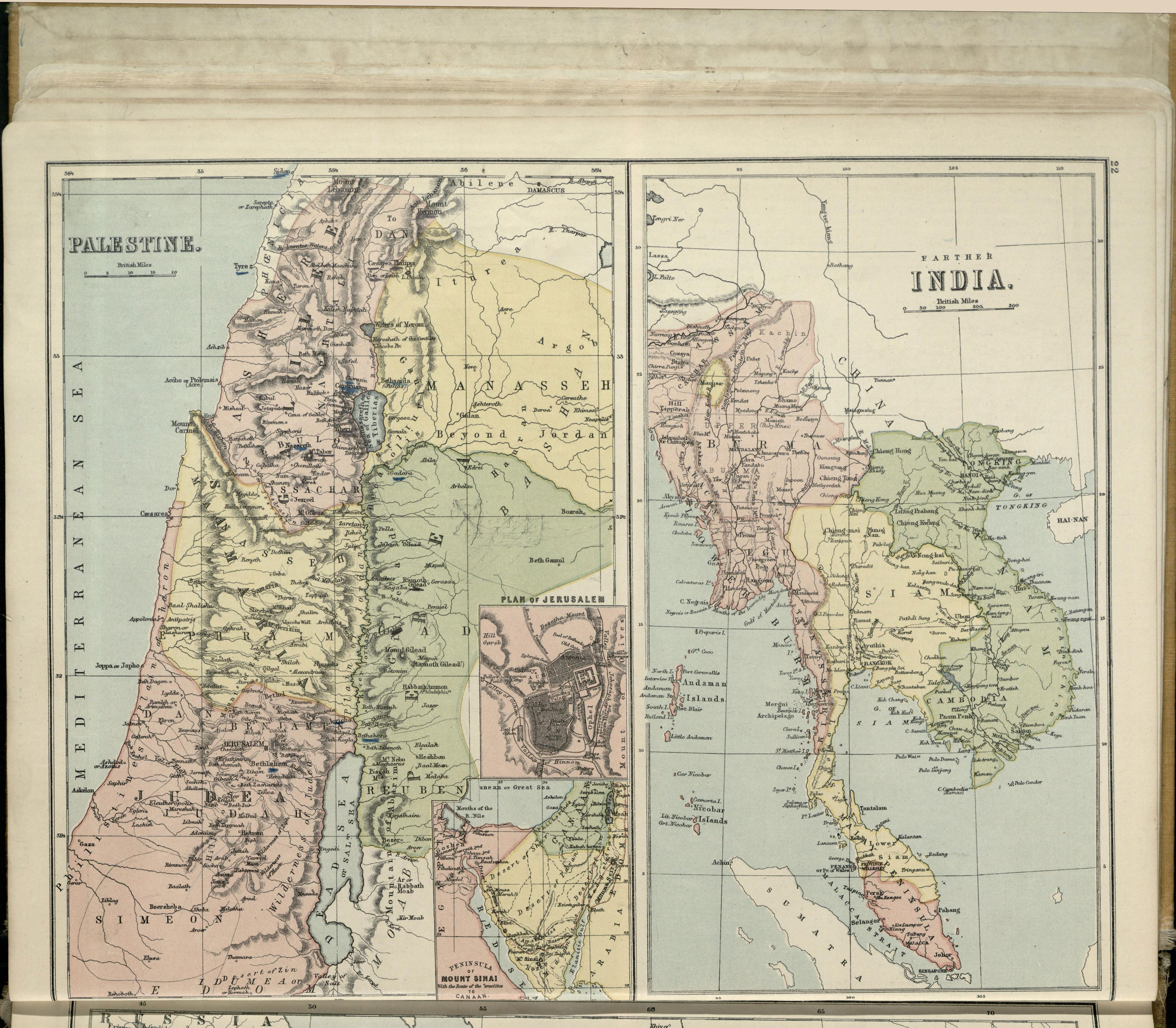
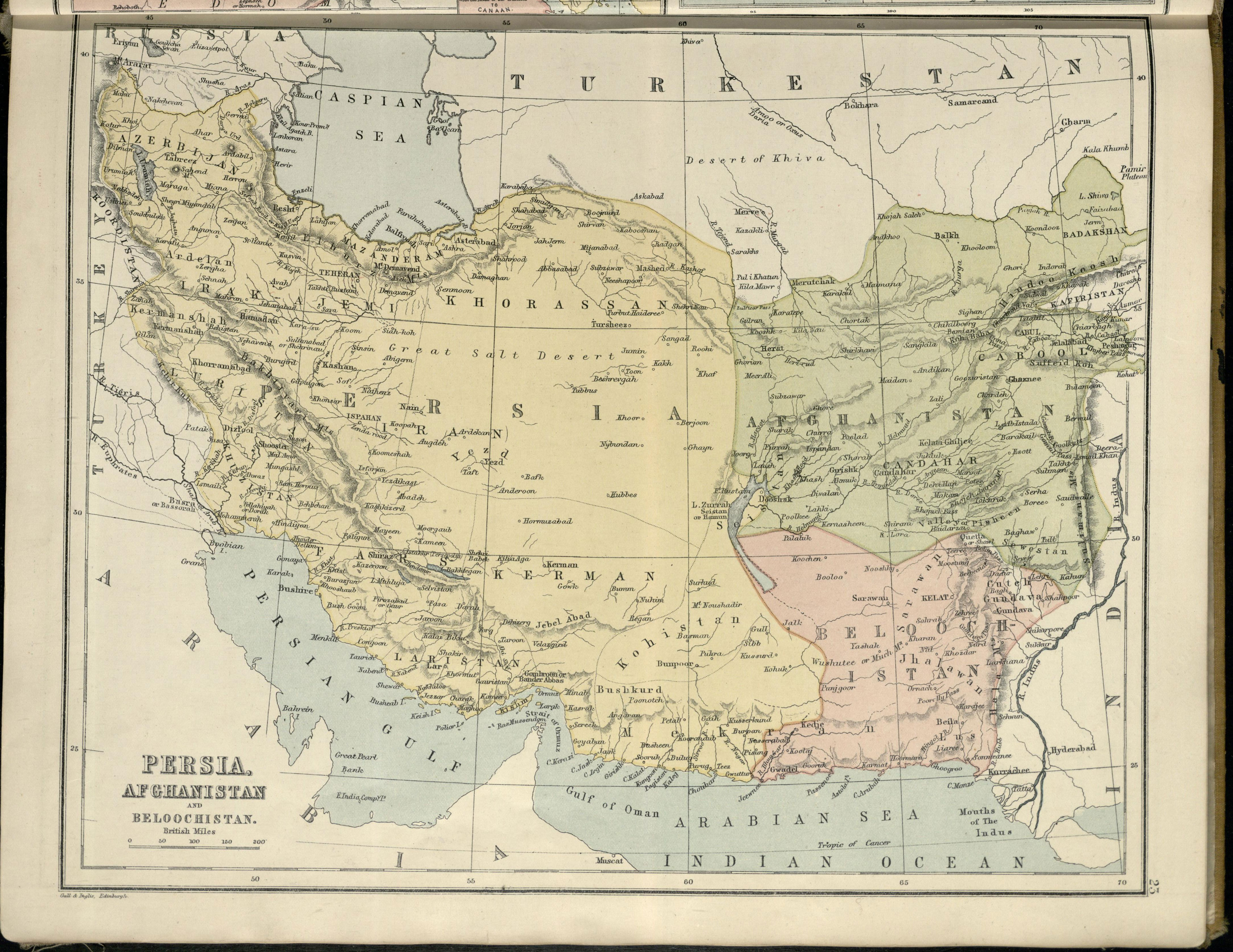
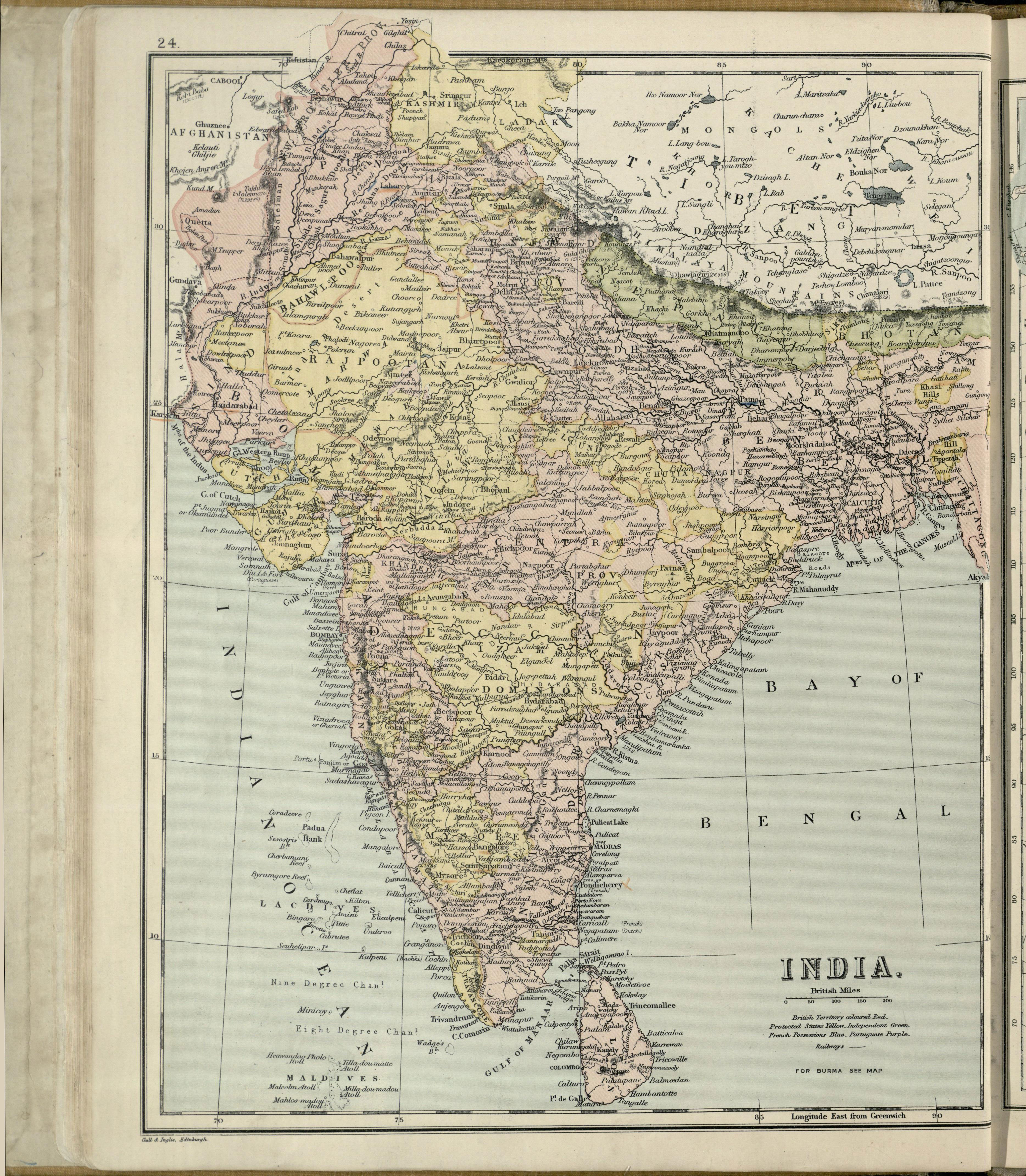
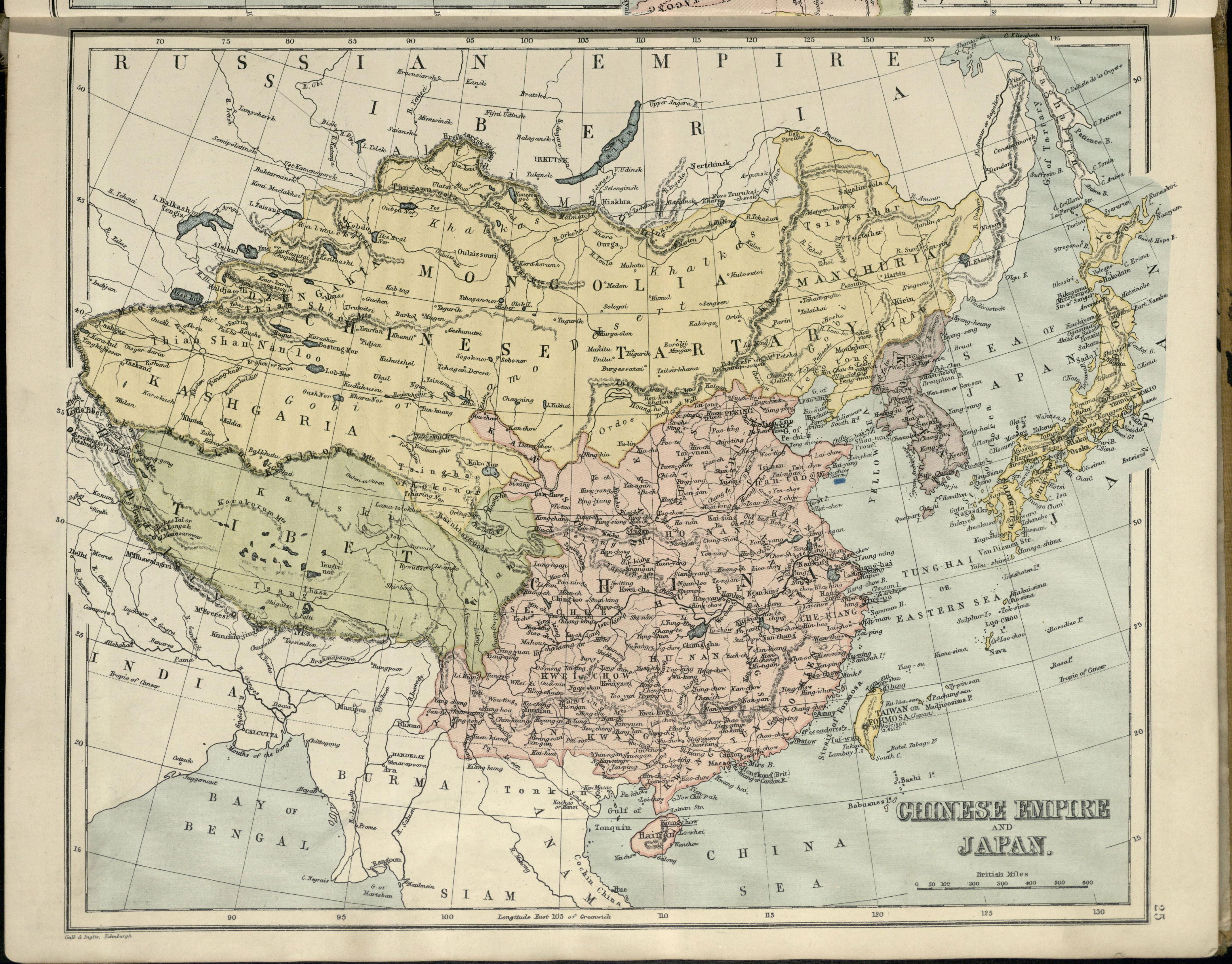
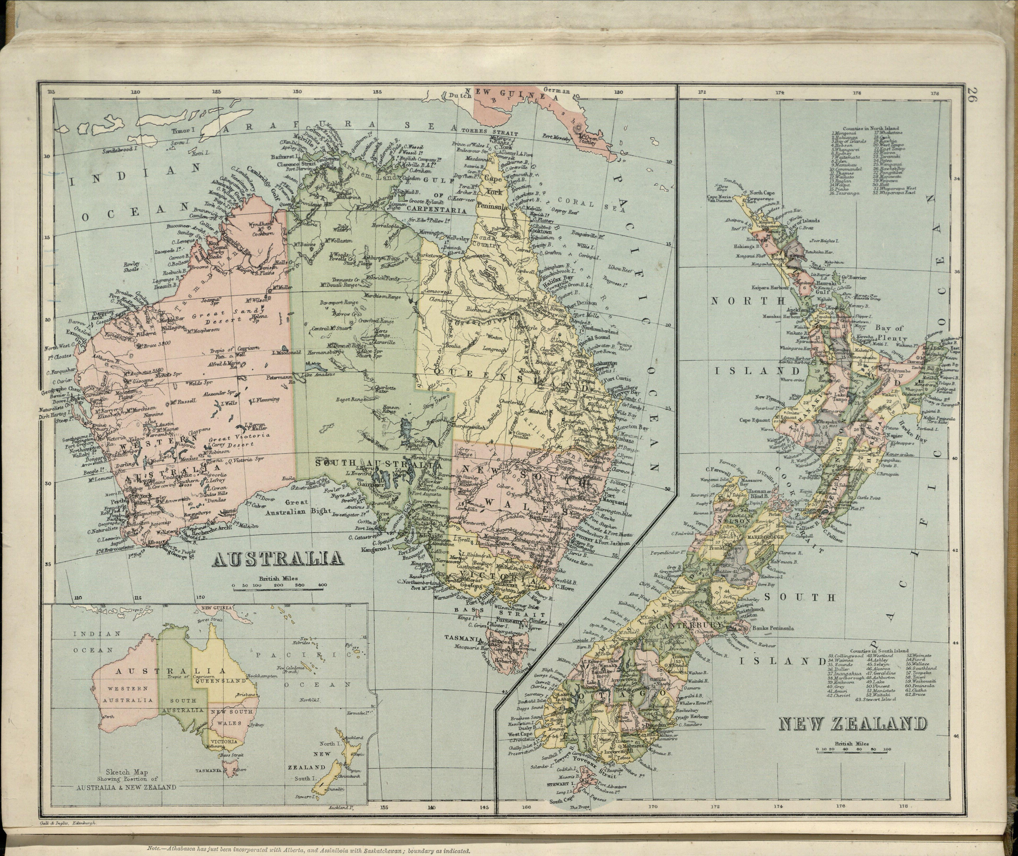
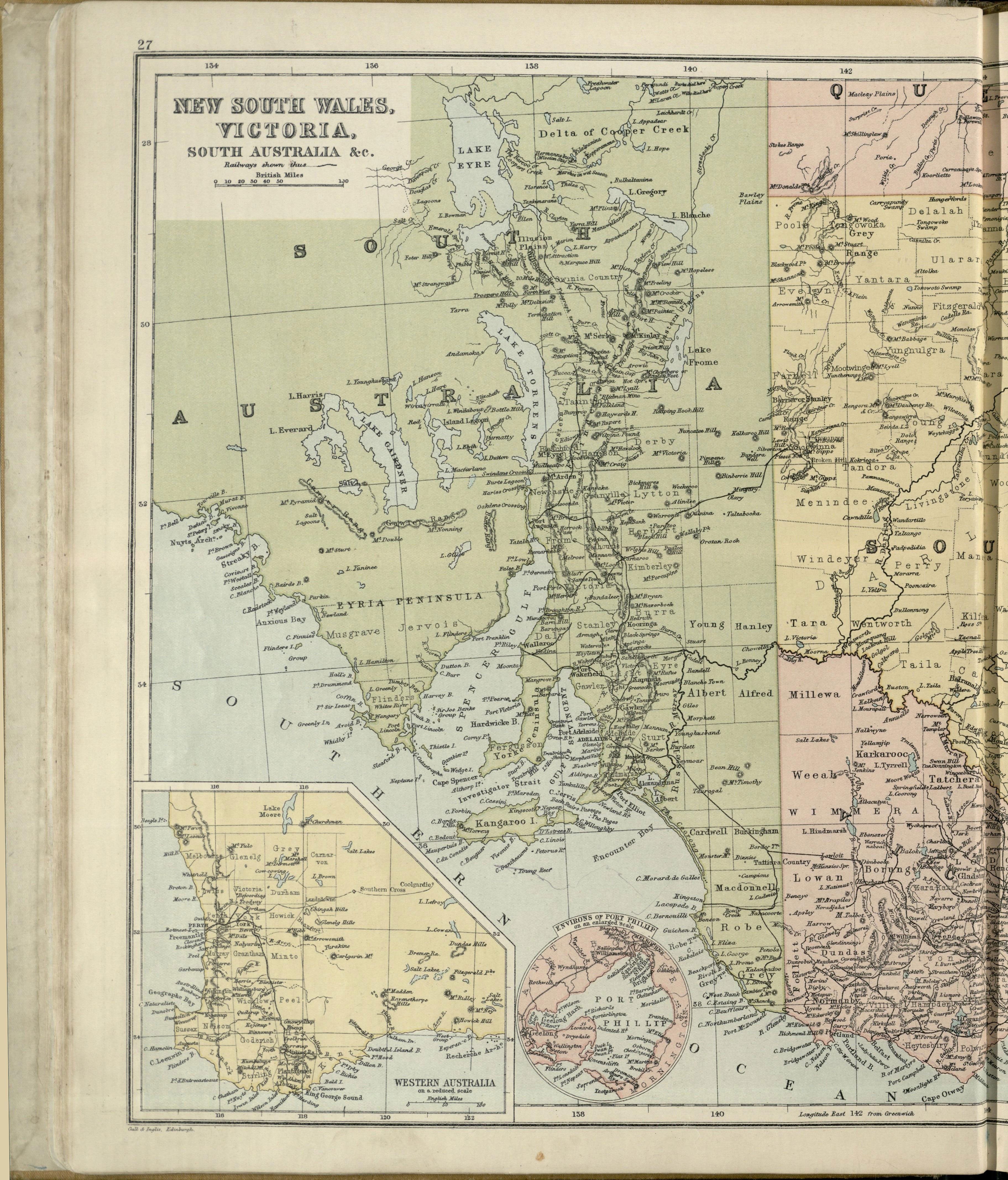
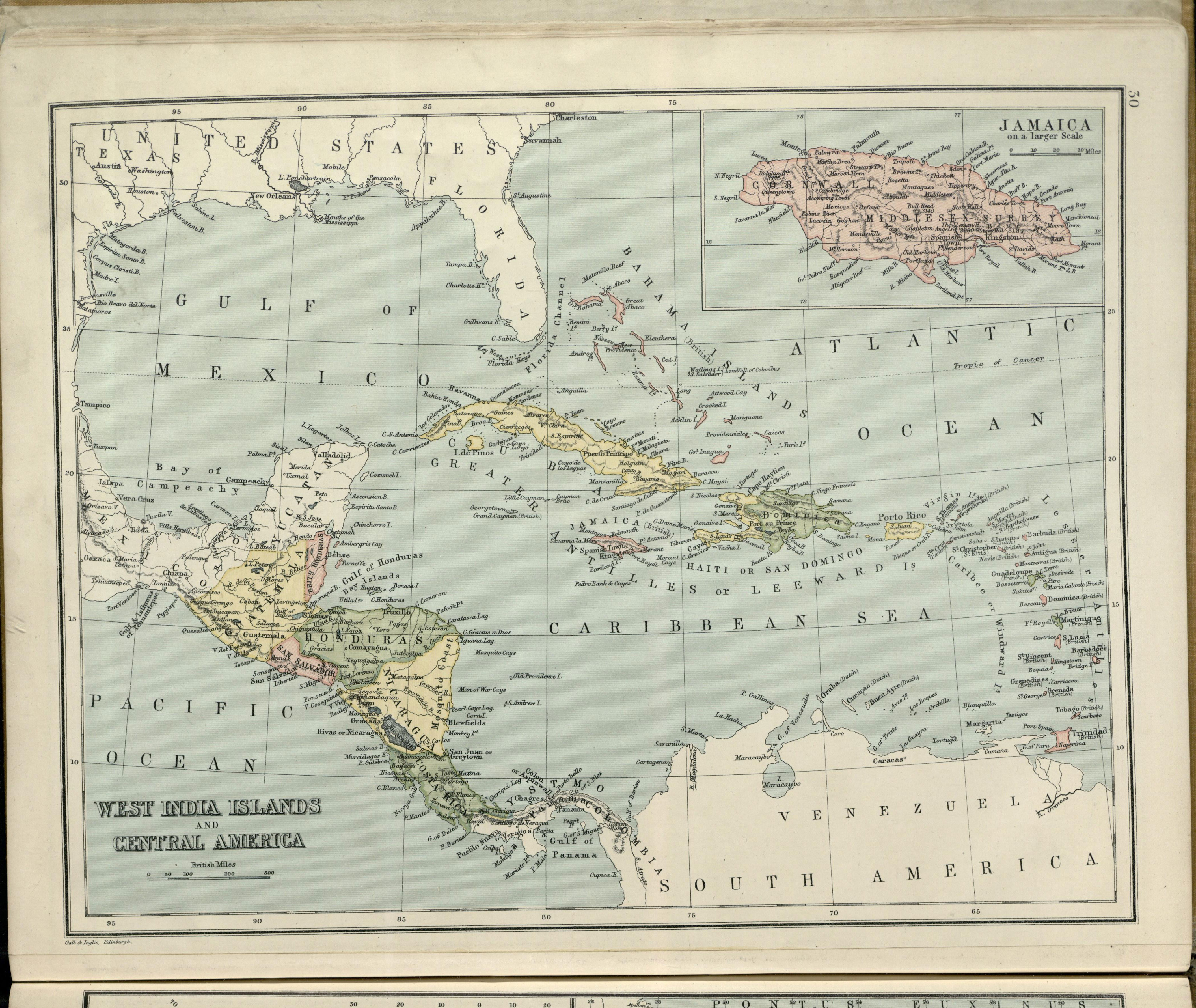
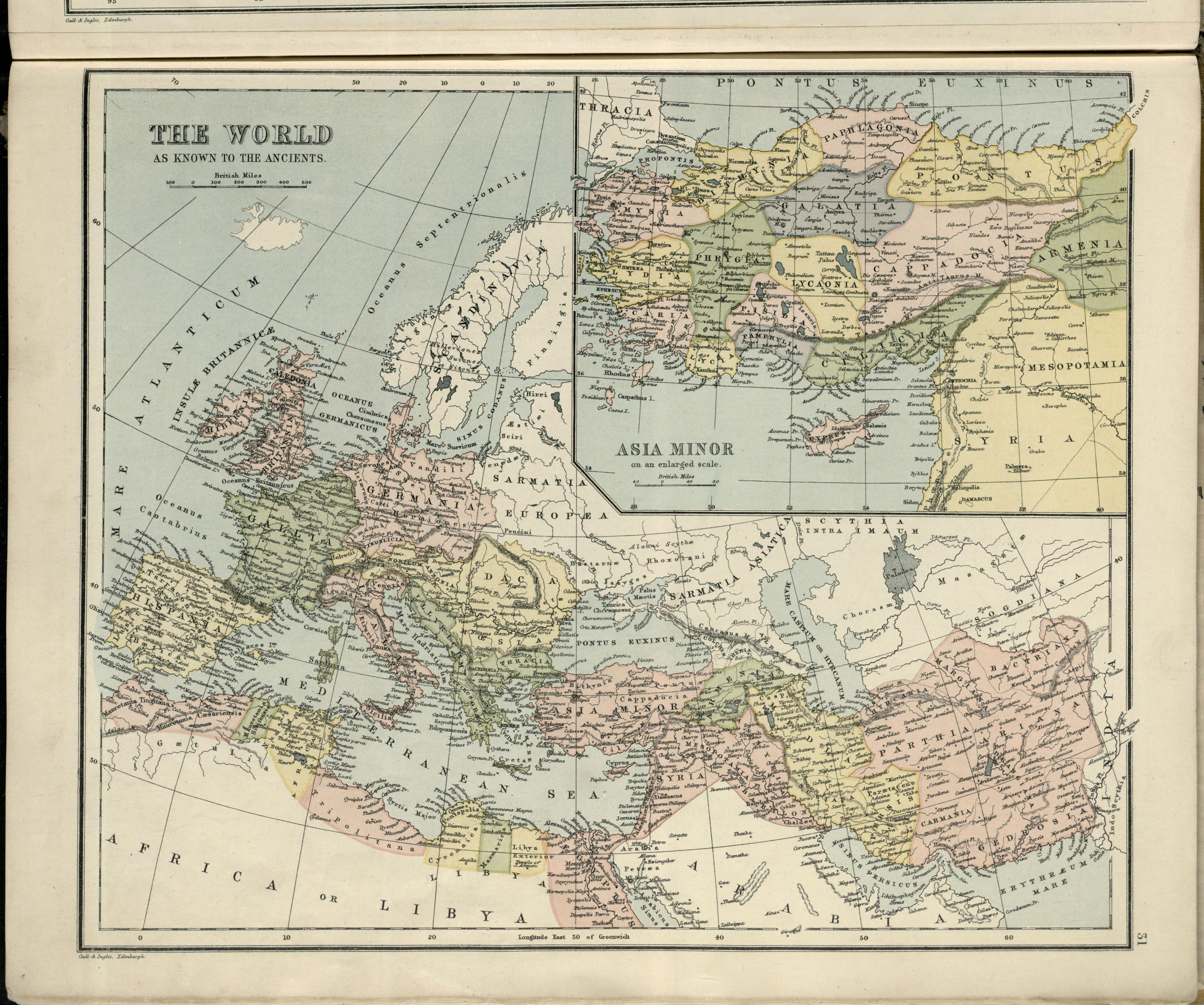
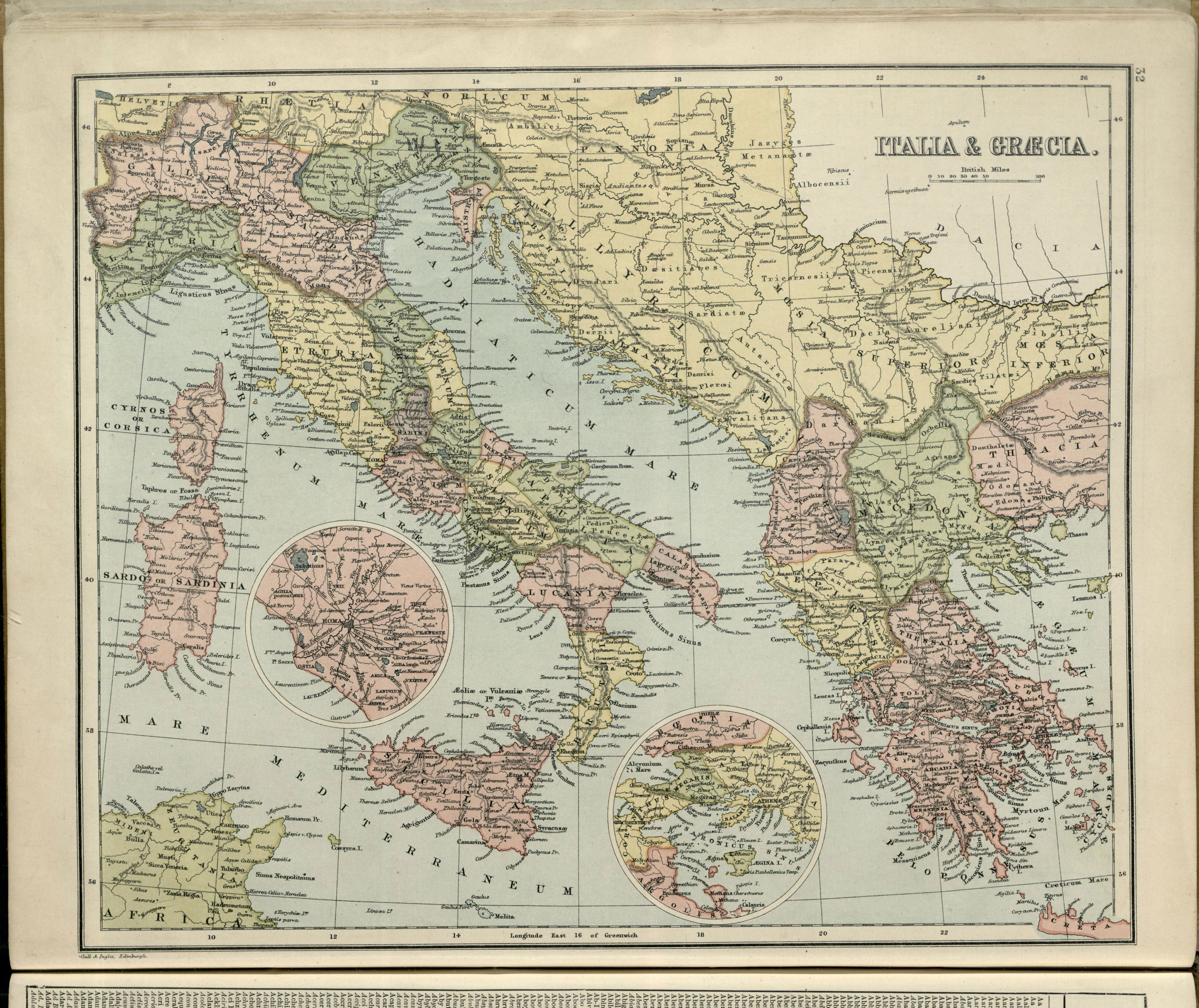
The Map Gallery
Our Map Gallery offers you a marvellous opportunity to get up close to the Sandycove Atlas. Scan across all the Plates in the Atlas, every page except the Index, at magnifications up to three times the size of the printed original. You can see the physical reality of the Atlas even better than if you had it in your hands.
To view each page click on the relevant image and use the mouse scroll wheel to zoom in. Click and hold to drag the zoomed image across the screen. To close the image viewer click on the ‘X’ in the top right corner.
All these page images can be downloaded from our Shop. The ones which identify the Atlas and its contents (Front Cover, Title Page, Contents List) are free of charge. All the other individual openings (double page spreads) are available for £3 each. Two collections; the plates which are most relevant to the Joycean connection, and the Atlas in full, with every plate and even end-papers, cost £29 and £39 respectively.